

Mitigating the Effects of Sea Level Rise & Flooding
“Complete Streets are streets for everyone. They are designed and operated to enable safe access for all users, including pedestrians, bicyclists, motorists and transit riders of all ages and abilities. Complete Streets make it easy to cross the street, walk to shops, and bicycle to work. They allow buses to run on time and make it safe for people to walk to and from train stations.”
- Smart Growth America


What do Complete Streets look like?
There is no singular design prescription for Complete Streets; each one is unique and responds to its community context. A complete street may include:
Raised roads in areas vulnerable to flooding
Wide sidewalks
Vegetated swales for stormwater infiltration and conveyance
Bike lanes and/or wide paved shoulders,
Green infrastructure for stormwater management (bioswales, pervious pavement/surfaces, infiltration and treatment areas, rain gardens, etc.)
Special bus lanes with comfortable and accessible public transportation stops
Frequent and safe pedestrian crossing opportunities
Median islands for increased pervious areas
Accessible pedestrian signals
Curb extensions
Narrower travel lanes
Roundabouts, and more.
It is important to note that a Complete Street project is undertaken in coordination with other capital improvement projects such as stormwater system upgrades and the hardening of other infrastructure such as utility undergrounding. Coordinated sequencing of street, stormwater and utility projects reduces costs of completing projects, time to do so and minimizes disruption as the Village moves towards mitigating the effects of sea level rise and localized flooding.
A Complete Street in a rural area will look quite different from a Complete Street in a highly urban area, but both are designed to balance safety and convenience for everyone using the road.

How do Complete Streets address flooding and sea level rise?
Undertaking roadway improvements utilizing a Complete Streets approach is an efficient and cost effective way to help mitigate the effects of sea level rise and street flooding due to more intense precipitation events in that roadways are considered as an extension of the stormwater management system.
Where appropriate, green infrastructure can be incorporated into the overall roadway design along with increasing pervious areas and roadway elevations where advisable based on flooding and sea level rise projections.
Complete Streets Fast Facts:

Solves:
Inadequate sidewalks
Inadequate and/or nonuniform street lighting
Poor pedestrian and cyclist safety
Poor roadways
Inadequate parking
Inadequate drainage
Impacts of climate change and sea level rise
Poorly maintained swales
Benefits + Impacts:
Improved safety
Encouraged walking and bicycling
Provides more room for children to get physical activity
Provide parking spaces
Improve air quality
Uniform, well maintained landscaping
Increased property values
Highlights:
Impact:
Estimated GOB Project Cost: $40,000,000
Estimated Project Size: 40 miles
Estimated Duration: 7 years
Project Status: Planning
Project Manager: PW / CRSO

Complete Streets Case Study Concepts:
Village of Key Biscayne
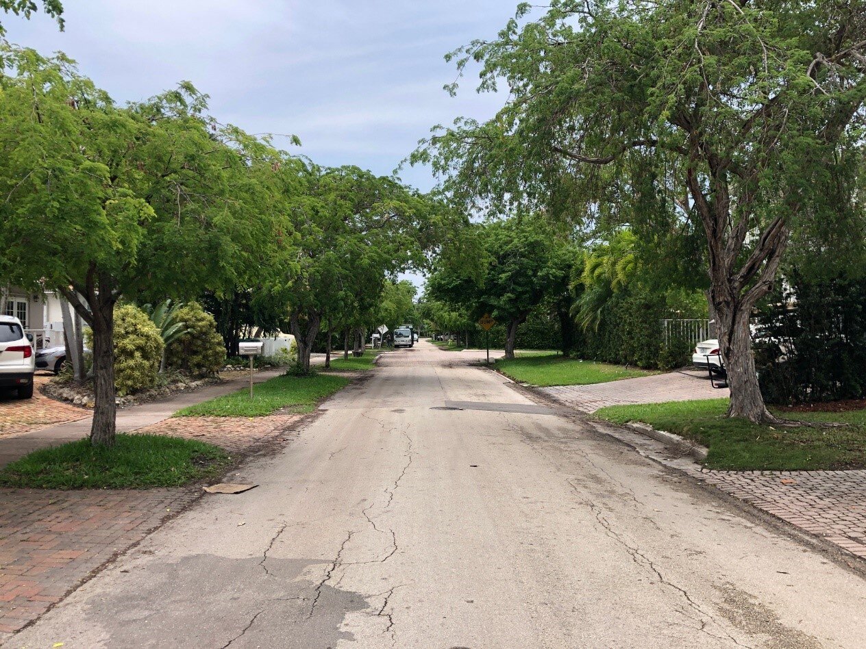
01: existing
01: concept

02: existing
02: concept

03: existing
03: concept
Sea Level Rise
The Southeast Florida Regional Climate Change Compact recently released its 2019 updated sea level rise projections, which indicate that over the next 20 years sea level is expected to rise 10 to 17 inches, significantly threatening the Village of Key Biscayne Shoreline, as well as intensifying the existing street flooding and all the associated negative impacts to safety, economy, and quality of life.
The images below, created using the National Oceanic and Atmospheric Association’s Sea Level Rise Visualizer, illustrate the potential impact to the Key Biscayne of three to nine feet of sea level rise. Without intervention, approximately 90% of the Village of Key Biscayne would be flooded with only 6 feet of sea level rise.
Click on the button below to see how different amounts of sea level rise might affect your household. Please note that this external application is not compatible with certain versions of Internet Explorer.


“Communities that invest in bike ways and good sidewalks also attract a creative class of professionals who bring additional vitality and economic growth to communities.”
— Jeffrey Tumlin, principal, Nelson\Nygaard